
See the full Project Plan here:
Tod Creek Flats Integrated Management Plan document
Tod Creek drains Prospect Lake and runs north into Tod Inlet. Tod Creek Flats is about one km north of the outlet of the Lake. In summer most of the 75 acres is farmed. In winter it functions as a flood plain.
After a century of farming the agricultural viability of the land is under threat. The land may have subsided and/or the watercourse has been degraded so that it no longer provides enough drainage to support agriculture.
As a winter floodplain, the flats are important to reduce downstream flooding, improve water quality and provide winter habitat for various wildlife.
Historically, Tod Creek provided fish habitat. To improve drainage, Tod Creek was channelized resulting in the loss of fish habitat.
A restored, meandering stream with ponds would provide better functioning conditions for fish and other wildlife.
 The purpose of this project is to use an integrated approach:
• To make the land economically viable for agriculture
• To preserve and improve flood plain function, and
• To create a healthy habitat for fish and other wildlife
With the help of many partners a vision has been created. Through the District of Saanich a grant has been obtained from the Ministry of Community Services to hire a consultant to create a concept plan based on our vision and the possibilities of the site. The consultant will also identify any outstanding data or research that may be needed before implementation is possible.
Sept 2nd 2015
from behind the Red Barn, one panorama, facing west:

Same perspective, four photos with better clarity:


Sept 3rd 2015

Farmington Road, looking south from on the bridge.
This photo shows the replanted native willows and Red Osier Dogwood that were removed while the work was going on, set aside and then replanted. They should take very well.

This photo to the right, again looking south from the bridge: shows a willow tree that was worked around because it was so nice and big. You can see a slight bend in the stream because of that and also note the rock armouring that was placed around its base to prevent erosion.

Close-up of a replanted tree.
The trees were flagged so the excavator operator would know which ones should be saved.
Updated photos: Farmington Road, looking south from the bridge. Oct 25, 2015.


The stakes are of willow and Red Osier Dogwood which will sprout and protect the banks. The flower pots are some of the many left over from all the planting we have done.
Same Date: Oct 25, 2015. Farmington Road, looking north.


Standing with Wallace Drive to the right of this photo, West Saanich Road to your back: a wide-angle shot with Farmington Road in the distance, right of centre.

Nov 14th, after the rains

looking south

looking north, Farmington Road.
Dec 28, 2015, looking south from Farmington Road

Dec 28th, 2015, looking north from Farmington Road.

2016
March 7th:
 Standing on Wallace Drive, with your back to West Saanich Road, looking left [south] toward the Red Barn.
Next Photo: looking straight ahead, onto the north end of the Flats.


Same position: looking right [north] toward Tod Creek.
New sign posted outside the Red Barn: 
Aug 2016: Interpretive Sign
Come and read! Erected on West Saanich Road [just north of the Red Barn, before Wallace Drive]


4 Oct 2016: Beginning work on the culverts for the water controls.


8 Oct 2016


13th Oct 2016

July 2018

Plover: ? Semipalmated Plover [Charadrius semipalmatus].


Jan 2019


Feb 2019

June 15/ 2019

Facing west, sun rising over Kiowa.

Sunrise, facing north from behind the Red Barn.


11th Nov
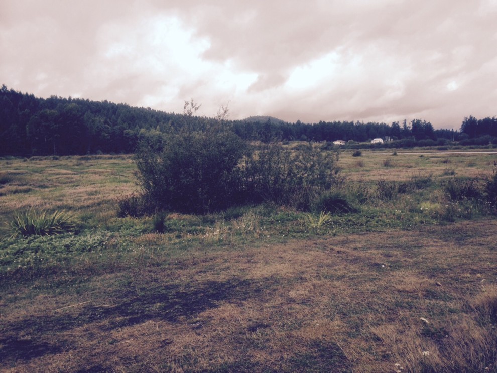
A dramatic sky, late afternoon on Remembrance Day. Standing at Wallace Road, looking south toward Red Barn.

16th Nov
Walking the dykes on Tod Creek Flats


Dec 1st 2019


