

Lake Aquatic Plant Survey reference map.

Lake Aquatic Plant Survey [L.A.P.S] conducted on Ron & Joanne’s floating dock, with thanks.

Keta, our L.A.P.S. First Mate.
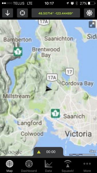
Longitudinal and latitudinal coordinates are taken on an iPhone

Site 2c: plant samples were taken at 2 metres depth.

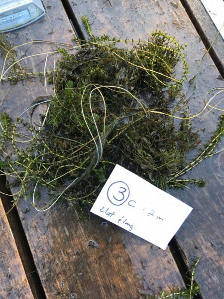
Site 3c: samples taken at 2 metres depth.
Site 3c: plant id to follow…

Site 4c:

Site 4c: plant sample id to follow

Site 4c: plant sample id to follow…

Site 6

Site 6a: plant samples taken at 6 metres. Plant id to follow…
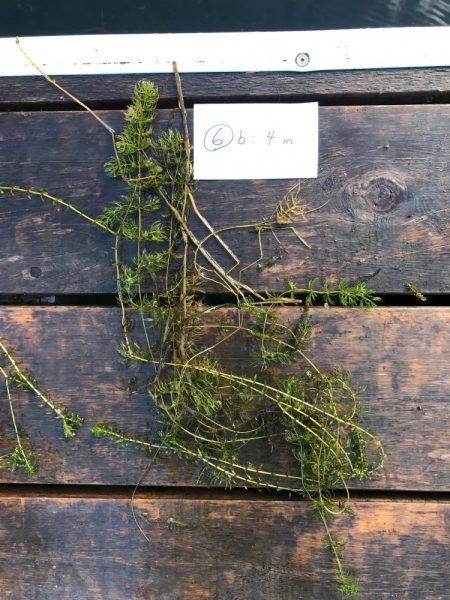
Site 6b: plant samples taken at 4 metres. Plant id to follow…

Site 7
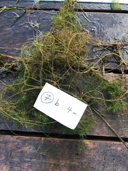
Site 7b: plant samples taken at 4 metres. Plant id to follow…

Site 7c: plant samples taken at 2 metres. Plant id to follow…

Site 7c: a closer photo, sample taken at 2 metres. Plant id to follow…